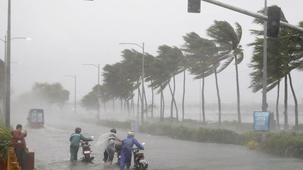
Muscat: A low-pressure system has been forming in the Arabian Sea off the coast of India and has been classified as a tropical storm, according to the Public Authority of Civil Aviation (PACA). According to an alert published online by PACA: “Increasing wind speeds around the centre of the tropical situation Maha are around 50-60 knots and it is still being classified as a tropical storm.” The low-pressure formation — which was named Maha by Oman from a list of names provided by countries in the Indian Ocean region — began in the Bay of Bengal, before coming to the Arabian Sea, after which it is expected turn around and head back to India. Maha will be the fourth cyclone formed in the Arabian Sea this year after Vayu, Hikaa and Kyarr, and will likely follow the same path as the latter. According to private weather forecaster Skymet, Maha will not directly impact India. However, before forming into a cyclone, heavy to torrential rainfall may be seen over Indian states of Tamil Nadu, Kerala, parts of Karnataka, and with the Lakshadweep Islands. Wind speeds will be strong to very strong along the Tamil Nadu, Kerala and Karnataka coastline, along with waves that are expected to be at least 15 feet high. Usually, the number of cyclones formed in the Bay of Bengal is more, as compared to the Arabian Sea. This year, however, the situation is different and the Arabian Sea has already had three cyclones form in its waters. The fourth is touted to form very soon. The reason for increased cyclone formation in the Arabian Sea can be attributed to the positive Indian Ocean Dipole (IOD). In fact, this IOD is the strongest in the history of record-keeping with which warmer sea surface temperatures aid in the formation of cyclones. When asked whether a cyclone could be formed within such a short gap in the same area, Jason Nicholls, lead meteorologist from Accu Weather, told Times of Oman that it was indeed possible.
With inputs from a special correspondent.