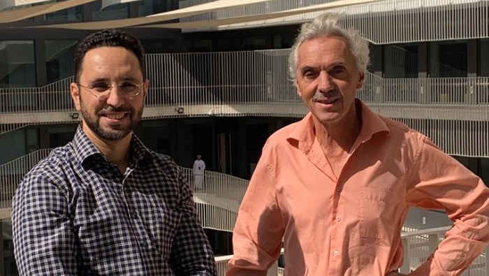
Muscat: HALBAN Scientists from the Department of Applied Geosciences at GUtech, together with a colleague from the Netherlands have published a scientific research paper in the ‘Urban Water Journal’, published by Taylor and Francis Online.
The research report by Prof. Dr. Holzbecher and Dr. Hadidi is entitled ‘Flood mapping in face of rapid urbanization: a case study of Wadi Majraf-Manumah, Muscat, Sultanate of Oman.’ The research has been financially supported by The Research Council (TRC).
“The continuous construction of infrastructure as well as residential and industrial areas can shift the spots and add higher risk of flooding to existing or newly urbanized regions. For that reason, it is of high importance to update flood and risk maps regularly,” said Dr. Ahmed Hadidi, hydrogeologist at GUtech.
The rapid urbanization observed in many parts of the world, creates new challenges. Aims are the protection against flash floods and the diminution of flooding. In the paper a case study is presented concerning the region adjacent to Wadi Majraf-Manumah in Muscat, Sultanate of Oman. A team of BSc students was involved in the ongoing research.
Using Differential GPS they conducted a survey campaign to refine the Digital Elevation Model (DEM) in the vicinity of GUtech, located in the region. The site is characterized by rapid urbanization in the past decade. This requires an a priori use of a flood simulation tool and the option for regular updates.
To evaluate flood risks, it is necessary to use computer models to simulate flooding events. Regularly updated flood maps can be used for planning purposes.
Advanced flood simulation tools are available that deliver accurate results in a short time, with high-resolution information and advanced capabilities to model hydrodynamic processes and that can also be used for managing actual flooding events.
The hydrodynamic model 3Di, presented in the paper, is served from a GIS environment. It enables users to construct flash flood scenarios and run them in a cloud environment.
“The information about changed streamflow due to urbanization can help communities reduce their current and future vulnerabilities to floods, mitigate flash flood hazards and manage activities during disasters. Besides updating flood maps continuously, our further recommendations to reduce the flooding are to avoid urbanization activities in the flood risk zones defined by the flood maps and to improve drainage construction around these hot spots.” Said Dr. Ahmed Hadidi.
Currently the team of researchers at GUtech are developing a prototype of an early warning system. Such Decision Support System (DSS) system could help the authorities to restrict traffic on dangerous parts of the roads,” said Dr. Ahmed Hadidi.