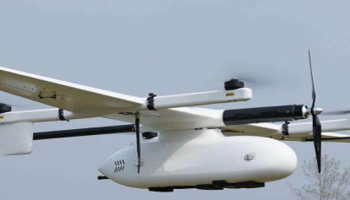
Muscat: The National Survey Authority (NSA) at the Ministry of Defence inaugurated a new unmanned aerial vehicle (UAV) on Wednesday.
The new UAV is considered an addition to the authority’s capabilities. Utilising such UAVs is a modern and practical method that saves efforts and time in survey and exploration operations.
Moreover, the move comes within the framework of the authority’s vision to keep pace with international developments in the geospatial fields.
The National Survey Authority seeks to enhance the standards of topographic surveys and the production, management and maintenance of geospatial data and information for the Sultanate of Oman, by providing accurate aerial photographs in a short time, with the aim of providing correct information and data and fast and accurate sources for updating various maps, in addition to providing aerial photography service for various sectors and imaging in emergency situations.