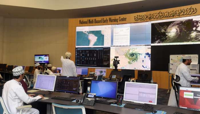

Muscat: Latest satellite images and weather charts analysis at the National Multi Hazards Early Warning Centre indicate that the tropical cyclone (Shaheen) located at longitude 58.3 °E and latitude 24.1°N.
The tropical cyclone continues to move towards the coastal areas of Oman Sea with estimated surface wind speed around the centre estimated at 65 to 75 knots (120 - 139 km/hr), said the Civil Aviation Authority (CAA).
The cyclone is expected to continue to move toward coast of North Al Batinah. The direct impacts started Sunday morning with strong winds (40-60) knots and heavy rain ranging between 200 and 500 millimeters causing severe flash floods over Governorates of North Al Batinah, South Al Batinah, Muscat, A’Dhahira, Al Buraimi, A’Dakhliya and the coastal areas. Effects may extend to the Governorates of Musandam, North and South A’Sharqiya with isolated rain (30-70) millimeters and heavy to moderate winds (15-25 knots), CAA warning (5) said.
The Sea condition is expected to be very rough over the coastal areas between South A’Sharqiya to Musandam Governorates with maximum wave height ranging between 8 and 12 metres. In addition, storm surge might cause sea water inundation over low level coastal areas. The sea state will be moderate to rough along the rest of Omani coasts with maximum wave height between 2 and 3 metres.